


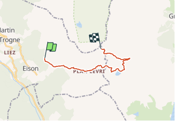

3.2 km | 6.2 km-effort


User


FREE GPS app for hiking
 SityTrail
IGN / Geographical institutes
SityTrail World
The world is yours!
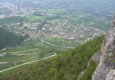
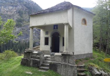
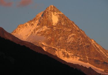
Trail Other activity of 8.7 km to be discovered at Valais/Wallis, Hérens, Saint-Martin (VS). This trail is proposed by Dgubler.
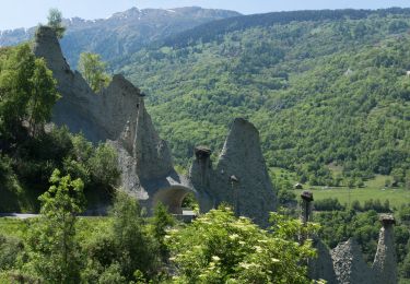
1er jour de l''excursion botanique d''Ecoréseau, le 4 août 2007. Magnifiques paysages entre les Chalets d''Eison et la cabane des Becs de Bosson
On foot
On foot
On foot
On foot
On foot
On foot
On foot
On foot
On foot